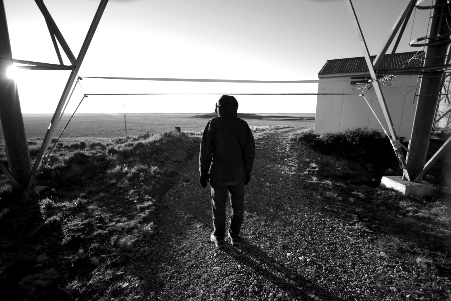
Archaeology is a scientific discipline that studies human behavior through the recovery, analysis, and interpretation of past and present material and cultural remains. The wind oscillator is a tool that considers this natural force as a cultural object, providing clues about human activity where it resonates.
The numbers represent the distance in centimeters at which a string resonates with the wind in a location.
987 [Caleta María]
In the background, the Islote Tres Mogotes, the place from which American painter and illustrator Rockwell Kent portrayed Caleta María. During his 1922 journey, Kent, crossing from Seno Almirantazgo to Bahía de Yendegaia, discovered traces of a hut possibly belonging to one of the communities that inhabited the area since ancient times. In 2022, Terra Ignota, following in the painter’s footsteps, confirmed the existence of lithic material that would indicate not only human presence but also the possibility of an intercultural contact zone among the Selk’nam, Kawésqar, and Yagán peoples.
912 [Punta Dungeness]
The southeastern tip of the American continent is moving. Its sands are shifting westward, displacing all of Punta Dungeness, where the border between Chile and Argentina lies. Facing it is the entrance to the Strait of Magellan through Primera Angostura, and numerous oil plants are situated over its waters, waiting for activation to extract fuels from the accumulation of organic remains from plants and animals. Mobile sands and zoomorphic platforms withstand the turbulent winds and waters covering the Earth’s crust, from which fossil fuels will eventually transform into carbon dioxide.
888 [Cabo de Hornos]
The southern tip of the American continent is the meeting point of two seas and winds with hurricane-like characteristics of over 300 km/h. In these dangerous waters lie hundreds of ships that were wrecked while trying to cross from one sea to another or toward the Antarctic continent. Today, the 888 oscillator stands, resisting and resonating alongside a lighthouse inhabited by a family of mariners, floating above extensive peat soils. It’s a place that seems not to exist and will be a transit route for what we understand as progress to the icy continent.
821-946-1202 [Puerto Percy]
What were once solid constructions now serve as a source of material for fuel; the harbor crumbles, and its steel structures rust. What could be the future of any unviable town is now the supporting structure for the oscillator, which vibrates with its three strings, resonating through two empty fuel tanks of thousands of liters. The structure battles the wind, reclaiming this space with metallic roars.
953-1176 [Bahía Róbalo]
Between two anti-aircraft batteries, these ropes vibrate. The wind that once battered the shores of the Yagán village now reverberates through the war material built to defend the coast against an imminent enemy on the other side of the Beagle Channel / Onashaga. The wind that eroded the coasts and their ancient archaeological remnants is the same force now wearing down the military material, pointing toward a channel that, rather than uniting, seems to separate.
Osciladores
Oscilador is a tool that resonates architectural structures using technological devices.
Inspired by wind oscillators installed at 7 points in the Magallanes and Chilean Antarctic Region, this device emulates the resonance achieved by wind forces through sinuous waves generated by custom-built electromechanical oscillations. Controlled digitally, two industrial motors transmit their vibrations to the architecture of the location. Whether in a postcard image or now in the courtyard of the University of Magallanes’ Faculty of Engineering, this work engages with the building’s architecture and the power of industry.
